Start point
The car park by the recreation ground opposite Beeding and Bramber Village Hall, High Street, Upper Beeding
Walking level: Easy
Distance: 2.75 miles
Refreshments: The Hub Café in Church Lane (open weekday and Saturday mornings).
Toilets: The car park opposite The Castle Inn, Bramber, BN44 3WE.
Dogs: Please keep dogs on leads and clean mess up.
The section of the trail near the brooks can be wet and/or overgrown depending on recent weather. Deacons Way may be used as an alternative route from Pound Lane to St Peter’s Church.
Not far from Bramber Castle, Upper Beeding is a charming village that has much heritage of its own – from medieval salt making to providing refuge for fleeing nuns – making it an intriguing place to visit.
Beeding – as the village is known locally – is mentioned in the Domesday Book (1086) and formed part of the lands gifted by William the Conqueror to William de Braose, after the Norman Conquest in 1066.
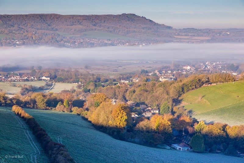
Starting on the High Street, this circular trail takes you past cottages, farmhouses and a manor house from various historical periods and offers lovely views across The Brooks and the River Adur.
Key sites include:
- The Towers Covent and Valerie Manor
- High Street and Pound Lane
- The Brooks and River Adur
- Sele Priory Church of St Peter
- Millennium Plaque and Church Lane
Further information
The following information will help you find out more about the heritage of the area you are exploring in the trail.
- Trail point 2, The Rising Sun Pub: So called because of its east facing aspect, the pub has been known as The Rising Sun since at least 1851. It had previously been named the Star.
- Trail point 3, Towers Convent: Resembling a castle, this eccentric building was sold partly completed to a local architect, George Smith, giving rise to the village referring to it as “Smith’s Folly”. It became a hunting lodge in 1897.
- Trail point 5, Mains Farm House and Hyde Street: Hyde Street, an ancient track at the foot of Windmill Hill, was partly a hollow-way on the way to Steyning.
- Trail point 8, Pound House Cottage: To the right of Pound House Cottage is a track, once a drove road originally known as Gypsy Lane and only later when houses were built at the western end was the name Smugglers Lane adopted.
- Trail point 15, Beeding Bridge: The bridge as we see it today was rebuilt in brick in 1785 and crossed the river on the important route for travellers and pilgrims between Canterbury and Southampton. For 35 years members of the local Round Table Club organised an annual charity ‘Bath-tub Race’ starting here and finishing at Shoreham. The last such race was held in 2006.
- Trail points 16-20, High Street: On the north side of the High Street are Bridge House, Hope Cottage and Beam Ends. These may have been one building and date from the mid 15th century. In the late nineteenth century they were home to John Young, a carrier who also had use of a stable on the malthouse field behind. The brick built Bridge House replaced the original flint building probably in the early 1900s. Opposite The King’s Head pub, The Farmer’s House and Manor House were built as one residence dating from the early 1700s. And the two bay timber framed Manor Cottage next door was built in the mid-1600s. Beyond Pond Farm House is the delightful Candytuft, dating from the mid 16th century and originally a half-floored house with a smoke bay at one end, subsequently divided into three cottages. 1725 and 1740 cottages were originally a malthouse with the neighbouring Cherry Tree Cottage, built about 1700 the home of the malthouse-keeper. Opposite is Holly Cottage dating from 1736 and in 1841 was the home of Philip Stoner, Upper Beeding’s first postmaster.
You may want to follow up the trail by reading Beeding, History of a Village (Beeding and Bramber Local History Society).
Tell us what you think
What do you think of our Heritage Trails? Please fill in our feedback form so we can improve any future trails.